West Michigan Aerial Documentation LLC Blog
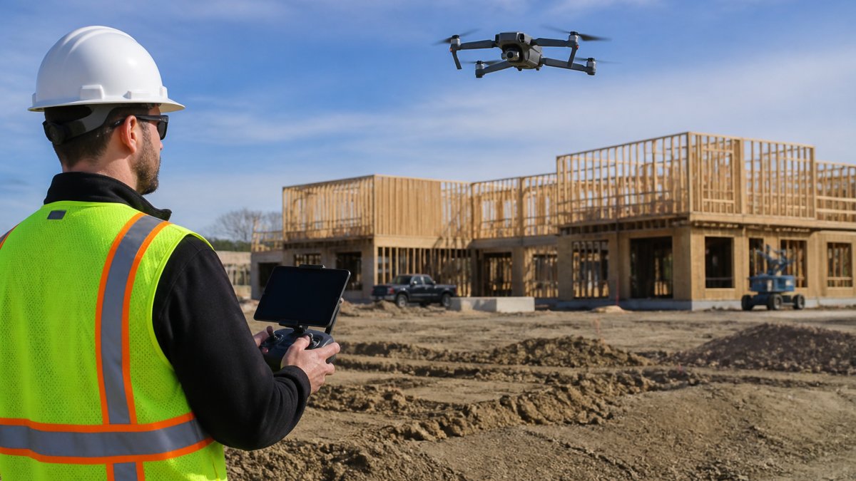
WEMAD delivers professional, data-driven aerial documentation services across West Michigan, providing owners, builders, and property operators with critical insights through repeatable, high-resolution drone flights. Our FAA Part 107 licensed and insured team specializes in purpose-built aerial photography and 4K video, enabling clients to monitor project progress from dirt to completion, communicate site conditions clearly, and showcase exceptional outdoor assets. We ensure consistent visual records from identical positions, making it easy to track capital improvements and seasonal changes for residential / commercial construction and estate properties. We also work inside properties to document through 360 photography what's in the walls before drywall goes up.