 blog
Best Drone Service for Construction Site Documentation
Last Updated: October 25, 2026
Quick Summary
The best drone service for construction delivers the same shot from the same position on every flight, so consecutive progress sets are directly comparable. Ask for the FAA Part 107 certificate and insurance, and confirm how the provider reproduces altitude, angle, and framing across visits. Deliverables should include dated image sets, 4K walkthroughs, and organized flight files.
- Ask for the FAA Part 107 remote pilot certificate and a certificate of insurance before anyone flies your site.
- Drone mapping needs ground control reference points or volumes drift and models misalign between flights.
- Mapping deliverables include a scaled orthomosaic, a 3D model, and stockpile volume calculations.
- Construction drone service cost is quoted per project based on site size, flight frequency, and deliverable type.
- Start a request with site address, project phase, and what you need the imagery to show.
Table of Contents
- What Sets the Best Drone Service for Construction Apart
- Construction Progress Monitoring with Drones from Dirt to Completion
- Drone Mapping for Construction: Orthomosaics, 3D Models, and Stockpile Volumes
- Construction Site Aerial Photography That Communicates Clearly
- What Construction Drone Service Cost Really Covers
- Requesting a Flight for Your Construction Project
- Frequently Asked Questions
What Sets the Best Drone Service for Construction Apart
The best drone service for construction is one that delivers the same shot, from the same position, on every flight, because progress documentation only works when consecutive sets are directly comparable. At West Michigan Aerial Documentation LLC, we specialize in repeatable flight paths rather than one-off photo runs.
That distinction matters more than camera specs. A phone photo taken from a different spot each week tells you almost nothing about how a wall, roof, or pad has changed. A fixed-position aerial record tells you exactly what moved.
Licensing, Insurance, and Flight Consistency
Ask for the FAA Part 107 remote pilot certificate and a certificate of insurance before anyone flies your site. Those are the two documents that separate a professional operation from a hobbyist with a drone.
Consistency is the harder test. Ask a provider how they reproduce the same altitude, angle, and framing across visits. A common mistake is hiring on price alone and discovering that month three's imagery lines up with nothing that came before.
Deliverables That Fit Construction Workflows
Deliverables should slot into how your team already works: a dated image set you can drop into a report, a 4K walkthrough for owner meetings, and a file structure that keeps flights in sequence. If you have to rename and reorganize everything yourself, the service is not finished.
Construction Progress Monitoring with Drones from Dirt to Completion
Drones turn progress into a visual record that owners and lenders can read at a glance. A repeatable flight series from mobilization through closeout gives every stakeholder the same view of the same site, week after week.
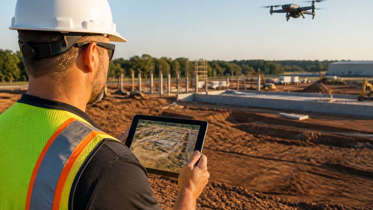
The value shows up in disputes. When a change order or schedule question arises, a dated aerial image settles the conversation faster than any written log. We also work inside properties to document through 360 photography what's in the walls before drywall goes up, so the record covers what the aerial cannot see.
Drone Mapping for Construction: Orthomosaics, 3D Models, and Stockpile Volumes
Drone mapping for construction converts overlapping aerial images into measurable products: a flat, scaled orthomosaic, a 3D model of the site, and volume calculations for stockpiles. These give you quantities and site conditions you can actually measure against.
The catch is that mapping is only as good as its ground control. Without known reference points, volumes drift and models misalign between flights. Ask any provider how they anchor their maps before you rely on a number.
| Deliverable | What It Shows | Best Used For |
|---|---|---|
| Orthomosaic | Scaled top-down site image | As-built records, site plans |
| 3D model | Surface shape and elevation | Cut/fill review, design checks |
| Stockpile volumes | Material quantities | Billing, inventory, haul planning |
| Progress image set | Fixed-position photos | Owner and lender reporting |
Construction Site Aerial Photography That Communicates Clearly
Construction site aerial photography is the communication layer of a documentation program. A clean, high-resolution image of the site explains more in one look than a page of status notes, and it travels well into investor decks and marketing materials.
The mistake most teams make is treating aerial photos as decoration. Shot with intent, they show site access, staging, drainage, and finished outdoor assets. That same library serves owners, developers, and property managers long after the project wraps.
What Construction Drone Service Cost Really Covers
Construction drone service cost depends on scope: site size, flight frequency, deliverable type, and processing time. A single progress flight and a recurring monthly program are different products, so pricing is quoted per project rather than pulled from a rate card.
Be wary of any quote that lists a flight fee and nothing else. Processing, ground control, data delivery, and insurance all carry real cost. We quote after reviewing your site and schedule.
Requesting a Flight for Your Construction Project
Start with three details: site address, project phase, and what you need the imagery to show. From there, a provider can recommend flight frequency and deliverables without guesswork.
Before you book, run this checklist:
- FAA Part 107 certificate and insurance on file
- Sample deliverables from a comparable project
- Confirmed flight positions and repeat schedule
- Delivery turnaround in writing
- Winter and weather contingency plan
Frequently Asked Questions
What should I look for when hiring a drone service for construction?
Check for FAA Part 107 certification and proof of insurance first, then ask how the provider keeps flights repeatable. A strong construction drone service flies from the same positions each visit, delivers high-resolution photos and 4K video, and can produce maps or 3D models. Ask about turnaround time, weather policies, and whether they have documented projects similar to yours. Request sample deliverables before you commit.
Can drones track construction progress and create site maps or 3D models?
Yes. Construction progress monitoring with drones captures each phase from dirt to completion, and repeatable flight paths make month-to-month comparisons straightforward. Drone mapping for construction produces orthomosaics, 3D models, and stockpile volume measurements that support billing and scheduling. A provider that flies the same grid each time gives you consistent data rather than one-off snapshots that are hard to compare.
Do construction drone pilots need FAA certification?
Commercial drone work requires a Remote Pilot Certificate under FAA Part 107. Ask for the certificate and a certificate of insurance before any flight. Licensed and insured operators can fly legally over active job sites and carry liability coverage if something goes wrong. An unlicensed operator puts your project at risk and may void your own insurance. Verify both documents directly with the provider.
How much does a construction drone service cost?
Construction drone service cost depends on site size, flight frequency, deliverable type, and travel. One-time shoots cost less than recurring monthly documentation, and mapping or 3D modeling adds processing time. Because pricing varies by project, request a quote with a clear scope: number of flights, deliverables, and turnaround.
Your project deserves a visual record that holds up in every owner meeting and every change-order conversation. West Michigan Aerial Documentation LLC provides FAA Part 107 licensed and insured flights, repeatable progress documentation from consistent positions, and high-resolution aerial photography with 4K video. Get started with West Michigan Aerial Documentation LLC and request a flight to build a documentation record from dirt to completion.
